
Finding Galveston Neighbors by Block
Define the block before opening a name search. In Galveston, that can mean the same numbered-street block, the same avenue block, an adjoining parcel, opposite frontage, or a neighborhood-association boundary. A Sanborn sheet or historic map establishes the older physical block, while the City GIS and GCAD account provide a current parcel orientation. County Clerk instruments answer a property-record question. The Rosenberg Library’s directories and neighborhood files help with a dated historical question. These sources should not be treated as interchangeable evidence.
| Block source | What it adds around an address | Access route |
|---|---|---|
| City GIS and parcel layers | Parcel geometry, city limits, precinct, neighborhood, and related map context | Public map, ArcGIS service, or GIS downloads |
| GCAD appraisal account | Assessed owner, situs and mailing fields, account, geographic ID, and legal description | Free online search, public data, phone, or in person |
| County Clerk instruments | Recorded parties, dates, document type, and legal-description trail | AVA, counter, copies, certification, or older microfilm |
| City directories and Sanborn maps | Historical street or address entries and the built form of a block | GTHC collections, digitized pages, microfilm, or reading room |
| Neighborhood collections | Newsletters, petitions, association material, and local project context | GTHC catalog or staff request for a specific box and date |
GCAD can identify an assessed owner and a property clue. It cannot establish every person who lives there. Its mailing address may be a correspondence address, an agent, a post-office box, or another property. Likewise, a map can show a relationship between lots without certifying title, a legal boundary, or residence.
Galveston Parcel Flow Around One Address
Use a small, repeatable parcel flow: source address and cross streets → City GIS or a historic sheet → lot or parcel identification → GCAD account → County Clerk only when the question is about a recorded instrument → directory or collection for a historical address entry. Keep each field separate. The parcel layer is a spatial aid, the appraisal account is an assessment record, and a deed index is a recorded-instrument index.
- Locate the address in the City of Galveston Maps & GIS hub, then record cross streets and the lot or parcel context shown by the map.
- Use the parcel-and-lot-line layer to click nearby polygons one at a time. Note the parcel relationship instead of assuming a broad radius.
- Check each identified parcel in GCAD Property Search and preserve the account number, geographic ID, situs address, legal description, and assessed owner as separate fields.
- When a property relationship needs confirmation, search the County Clerk’s AVA real-property index by the legal description and parties, then read the instrument image or ask the clerk for the proper copy.
GCAD’s owner route, address route, property ID, geographic ID, and advanced filters are useful starting points. Its Advanced route also exposes controls such as street number and name, property type, subdivision or condo, owner ID, tax year, neighborhood, and protest fields. A whole-street result is not a documented one-click directory. Search the street name, then narrow by number, subdivision, or neighborhood when needed.
For the full named-street record chain, use the Galveston street directory. The block method stays focused on the immediate parcels and the documented relationship among them.
Note: Preserve a failed address query before trying the street alone, a historic alias, a lot or outlot, or a staff request.
Galveston Neighbors in Historic Maps
Historic Galveston addresses require street-name controls. Avenue J and Broadway are the same search bridge in different naming eras. Avenue E and Postoffice create a similar problem. A later source may use Martin Luther King Boulevard where a directory uses Twenty-ninth. Retain the source string first, then test the modern name, the historic alias, block number, lot or outlot, and map location. Do not silently rewrite the historical address in the research notes.
Sanborn maps can show the physical block, alley, street, structure use, materials, and adjoining buildings for the periods that survive. GTHC lists Galveston Sanborn editions from 1877 through 1947, and the Library of Congress holds a 1912 atlas of 111 sheets. Those maps do not show modern parcel ownership or a current resident list. City directories, available in various formats from 1856 through 2024, can add a dated address entry but have gaps, spelling variation, and annual omissions.
See the Galveston History Center’s historic street-name reference before treating two street labels as different places.
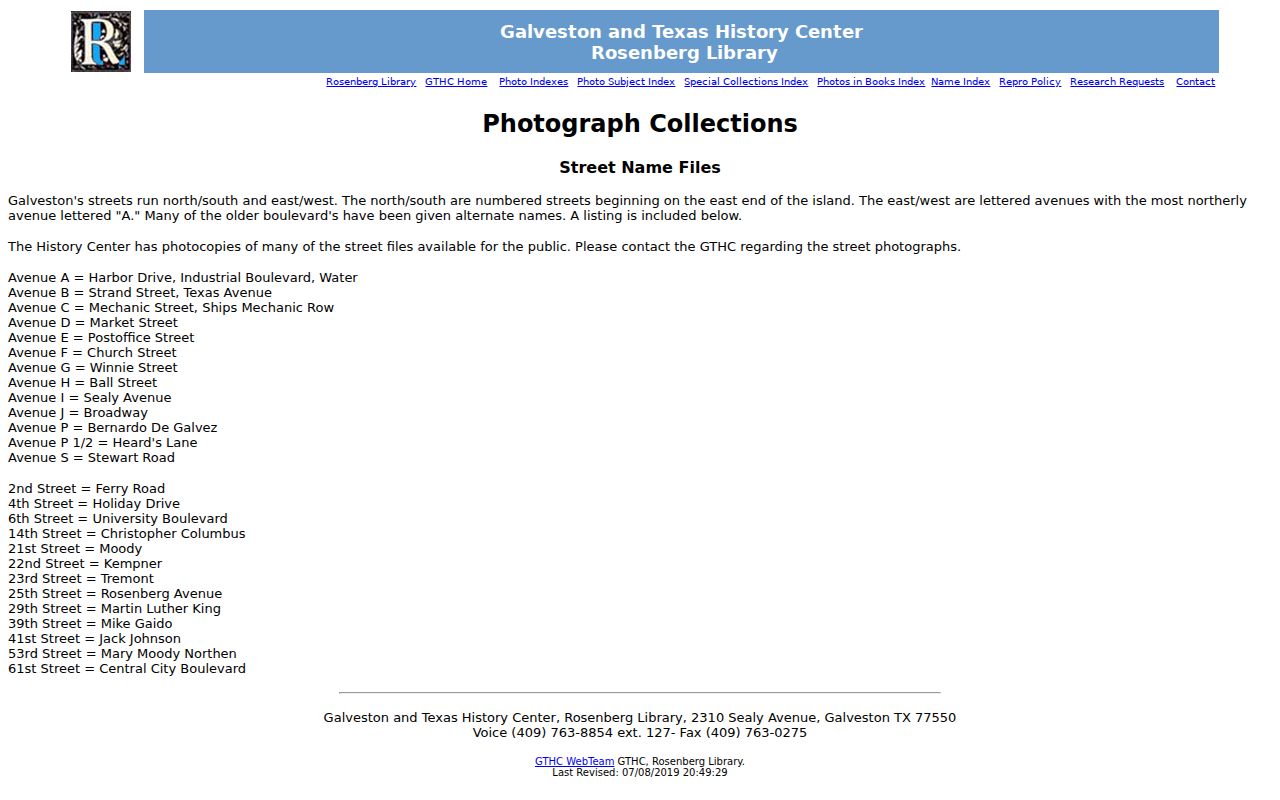
The reference supports a controlled search for an older block, especially where the source uses an avenue letter, a numbered street, or a later commemorative name.
Galveston Neighborhood Collection Records
The Galveston & Texas History Center preserves neighborhood material that can add context to a block without becoming a household list. Its vertical files cover addresses, civic organizations, people and obituaries, religious institutions, schools, and neighborhood material. Ask for a particular collection, box or folder, and date before assigning an association boundary to a parcel. A newsletter, petition, or association record is evidence of the document’s purpose and period, not proof of every resident in an area.
| GTHC collection or file | Block-level use and access |
|---|---|
| Galveston Alliance of Island Neighborhoods, MS2018-0006 | Association and neighborhood context; request the specific archival material. |
| Oleander Park Homestead Association, MS04-0056 | Bylaws and local history for an area formed in 1877; its historic description includes lots, alleys, and wide streets. |
| Palm Terrace collection, MS2009-0003 | Context for the area between 43rd–46th and H/I; confirm the collection’s relevant date. |
| Silk Stocking, MS92-0011, and San Jacinto, MS2017-0050 | Neighborhood history, newsletters, or related project material where available. |
| Old Galveston Quarter, MS98-0030 / MS2018-0016 | Historic neighborhood and civic material available through the archive request route. |
The GTHC house and property guide identifies block, outlot, and lot as the key that links a GCAD orientation to Insurance Board and manuscript research. That insider step is valuable when an address result is ambiguous. A one-page Insurance Board record can include build date, construction, prior owners, use, and owner or occupant notation for older structures, but staff locate those materials in the reading-room context.
The GTHC neighborhood and civic vertical-files collection is the starting point for a focused archival request.
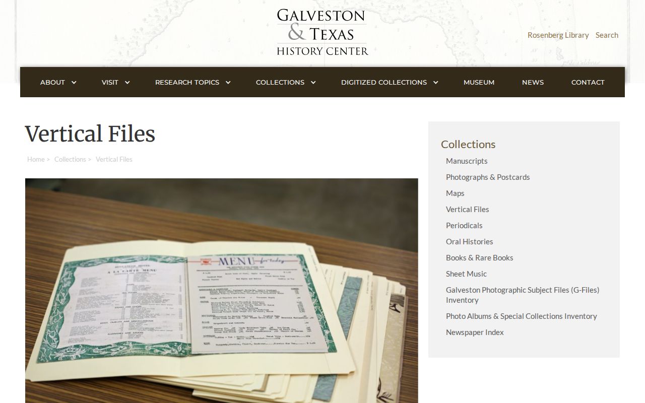
Use the collection description to frame a narrow request, then cite the item and date rather than treating the catalog as the underlying record.
Galveston Neighbor Context Layers
A parcel, ZIP, voting precinct, neighborhood, city limit, and ETJ are different layers. The City GIS download page includes city boundary, council districts, voting precincts, neighborhoods, public-safety, school, park, beach-access, and storm-surge material. Its City Limits and ETJ service supports identify and query operations, but City GIS warns that its maps are informational and approximate, not legal surveys. A map proves spatial context, not ownership, residency, or a legally binding boundary.
VoteTexas uses ZIP to help distinguish a name lookup, not to browse people block by block. Public voter information is controlled by Texas election rules, and protected records are suppressed. The county or state voter-file route requires the appropriate request form and affidavit. GIS precinct layers contain geography, not names. That distinction matters when comparing a neighborhood boundary with an election precinct or mailing ZIP.
Note: A postal city label or ZIP does not resolve a Galveston municipal boundary, especially near the ETJ or other island jurisdictions.
Galveston Neighbor Address Cases
Permit and code records are address-based context, not a resident roll. The City Building Division’s ePortal instructs users to search applications by property address, select the correct record number, and open the details. An application or inspection can help date a construction project, major repair, change of use, or permit-holder involvement. It does not establish who occupied the property. Code Enforcement provides a map and case-search route, but the inspected text did not describe every live filter or retention period.
For a source view, use the City of Galveston Code Enforcement options, then use the City Secretary’s Public Records Center for a defined city-held record if the online route is incomplete.
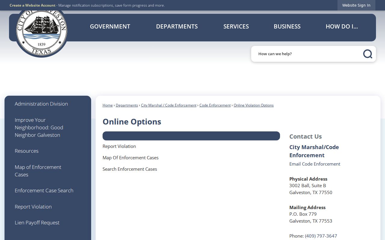
An address-level case can date a public city action. It should be checked against the property, permit, and custodian records before drawing a conclusion about a block.
Official Sources for Galveston Neighbors
Commercial neighbor-search tools are a category of convenience reports built from address histories, marketing directories, phone matches, and public-record fragments. Their update cycles, identity matching, source provenance, correction methods, and subscription terms vary. An official source answers a narrower question but provides a clearer custodian and record boundary. Use the smallest necessary set of facts, and do not convert a few records into a personal dossier.
| Source category | What it is good for | Key limit |
|---|---|---|
| Official GIS and GCAD | Current parcel orientation and assessed-account fields | Not a title certificate or occupant list |
| County Clerk instrument index | Recorded parties, dates, and legal-description research | Index entries need document and parcel verification |
| GTHC directories and collections | Historical address, physical-block, and community context | Time-bound and collection-specific evidence |
| Commercial neighbor tools | An unverified lead only | May be stale, merged, incomplete, or hard to correct |
The strongest report says exactly what a source supports: adjoining parcel, assessed owner, historical directory entry, public association record, or mapped boundary. It does not say that a whole block is a current-person list.
Galveston Neighbor Privacy Boundaries
Texas Government Code chapter 552 gives a route to request public information that an agency holds, but it does not make every address detail public. Texas Government Code §552.115 restricts recent vital material by age, and voter rules protect Social Security, driver-license, and other sensitive fields. The Attorney General’s Address Confidentiality Program provides a substitute address and mail forwarding for qualifying survivors. If a record is marked ACP, restricted, sealed, suppressed, or protective-order related, do not repeat the location.
Utility-customer, delivery, and private household lists are not made public by clicking parcels. A name in a historical directory does not identify everyone living at an address today. If an appraisal mailing field seems wrong, GCAD has a correction process; correction maintains an account record and does not rewrite a historical instrument.
Lawful use. Use Galveston block records for personal, lawful research and verify facts with the responsible custodian. Do not use a record, map, or address detail to stalk, harass, intimidate, or harm anyone.
Galveston Neighbor Records Requests
When a map, appraisal account, or archive index leaves a gap, request the specific record from the right keeper. The County Clerk handles recorded instruments. GCAD can orient an appraisal account. The City Secretary is the citywide request route for a defined city record, while Building ePortal and Code Enforcement cover their own address-level paths. GTHC staff can help locate a known neighborhood collection, map, or house-history material. TSLAC supplies a further route for Galveston deed microfilm, court indexes, and other documented local holdings.
State the address as it appears in the source, cross streets, record type, date range, and preferred format. Ask whether the answer is in an online index, a counter file, a phone or mail request, a microfilm reel, an archive box, a plain copy, or a certified copy. A failed online search can reflect an alias, indexing, or digitization boundary rather than the absence of a Galveston record.