
Following a Galveston Street Address
Use one defined number or a short block at a time. The practical Galveston address route begins with the Galveston Central Appraisal District account, which can connect an address to a property ID, geographic ID, and legal description. That record is an appraisal record, not a household list. Its owner mailing address may be an agent, a post-office box, or another property. Keep the mailing and situs addresses as separate facts.
- Search the address in GCAD Property Search. Save the property or geographic ID, legal description, situs address, and displayed tax year.
- Open the City GIS resources and compare the parcel with its cross streets, neighborhood, precinct, and current boundary context.
- Use the current owner and legal description in the County Clerk’s AVA route. Find the purchase instrument, then verify that its lot, block, subdivision, abstract, or outlot matches the parcel.
- Search the buyer as a grantee and the seller as a prior grantee for the same legal description. Save both indexed parties and each record location before moving backward.
- For an earlier address trail, test the historic street spelling and consult the Rosenberg Library’s address cross-references, which begin in 1908.
This order leaves an audit trail instead of mixing up owner, addressee, and directory resident. A voter record can help confirm an individual registration match through the state portal, but it is not a casual street-by-street resident map.
Note: A broad street search may return many appraisal accounts, so save the number range, filters, and source date with the result.
Galveston Street Directory GCAD Fields
GCAD’s public property search has Owner, Address, ID, and Advanced routes. An address search accepts a street number and street name. GCAD advises dropping prefixes, suffixes, and unit numbers when an address fails, then trying the street name alone. The advanced screen can narrow a Galveston address search by subdivision, neighborhood, tax year, geographic ID, and other appraisal controls. Legal descriptions and acreage still need independent verification for legal use.
| GCAD field | Input type | Required | Options or format |
|---|---|---|---|
| Owner Name | Text | Optional | Advanced field; the owner route example is last name first, and either name part can help. |
| Street Number | Text or number | Optional | Use with Street Name. Unit handling is not specified in the inspected form. |
| Street Name | Text | Optional | Use without prefix, suffix, or unit number. Street-only searching is recommended when needed. |
| Abstract | Searchable list | Optional | The form identifies a searchable abstract list. |
| MobileHomePark | Searchable list | Optional | The screen exposes a searchable mobile-home-park list. |
| Property ID | Text | Optional | Account or property identifier. |
| Property Type | Dropdown | Optional | The inspected text did not enumerate its live choices. |
| Protest Status | Text or control | Optional | Advanced protest filter. |
| Informal Date | Date or control | Optional | Advanced date filter. |
| Doing Business As | Text | Optional | Business-name field. |
| Subdivision | Searchable list | Optional | Filter for a street-only result. |
| Condo | Searchable list | Optional | Condominium field. |
| Owner ID | Text | Optional | Owner identifier. |
| Geographic ID | Text | Optional | Legal or geographic parcel identifier. |
| Tax Year | Dropdown | Optional | The inspected text did not enumerate year choices. |
| Neighborhood | Searchable list | Optional | Neighborhood filter. |
| Hearing Date | Date or control | Optional | ARB hearing-date filter. |
| Board Members | Text or control | Optional | ARB board-member filter. |
| Formal Date | Date or control | Optional | Advanced date filter. |
| Search | Button | Not applicable | Available on the simple and Advanced surfaces. |
The returned account can display owner name, owner ID, mailing address, property address, legal description, lot or block data, value, exemptions, and tax-year information. A homestead flag is limited owner-occupancy evidence. It does not prove someone is present today or identify every person associated with a street address.
Galveston Street Parcels and Map Layers
The City of Galveston Maps & GIS hub provides map resources for boundaries, parcels, voting precincts, neighborhoods, flood context, and related layers. The City says its GIS information is approximate and informational, not a legal survey. That makes it useful for locating a street segment and adjoining polygons, while the deed and legal description remain the stronger ownership evidence.
The City’s downloadable GIS page lists current city boundary, council district, voting precinct, neighborhood, and beach-access layers. The City Limits and ETJ service supports identify and query operations. For a Galveston address question, record the map layer’s date and use it as geographic context rather than treating a map label as a title finding.
Source view: the county parcel and lot-line map service describes parcels outlined and labeled, with data updated and distributed twice a year by GCAD.
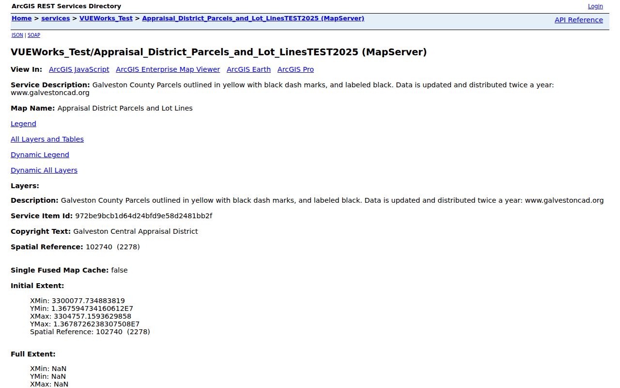
Use an identified polygon to note its parcel identifiers and legal description, then click neighboring polygons individually when the question concerns a defined block.
Galveston Street Directory Record Routes
Each address-keyed source records a different relationship. A current GCAD account is the starting orientation. The County Clerk’s grantor-grantee index supplies instrument parties and record locations. Historic directory and map material can add a dated residence statement or physical-block context. The table keeps those record types separate, which matters when a Galveston address has changed names, numbers, or jurisdiction.
| Address record | Galveston keeper | What it can establish | Access route |
|---|---|---|---|
| Appraisal account | Galveston Central Appraisal District | Assessed owner, mailing and situs fields, parcel identifiers, legal description | Free web search, phone, or in-person assistance |
| Parcel and boundary layer | City GIS and ArcGIS services | Parcel geometry, neighborhood, precinct, district, and boundary context | Public map, query, and downloadable GIS layers |
| Recorded instrument | Galveston County Clerk | Grantor, grantee, document type, date, record location, legal description | AVA, counter, copies or certification; older microfilm |
| Permit or inspection record | City Building Division | Application, permit, inspection, status, and an address-related project date | ePortal, account route, or City records request |
| Historic directory | Galveston & Texas History Center | Dated residence, occupation, address, and cross-reference clues | Portal, library databases, microfilm, or bound reading-room volumes |
| Historic tax or Insurance Board material | GTHC and TSLAC | Lot or outlot owner, value, building, prior-owner, or use clues | Reading room, staff request, and microfilm |
The County Clerk’s real-property records are grantor-grantee based under Texas Local Government Code §193.003. A street address may not appear in an index row. Match the row’s legal description to the GCAD parcel before describing an instrument as part of the same Galveston address trail.
Galveston Streets With Two Names
Address research on the island has a local naming trap. The Galveston & Texas History Center street reference pairs Avenue J with Broadway, Avenue E with Postoffice, Avenue F with Church, Avenue G with Winnie, and several numbered streets with later names. Twenty-fifth Street can appear as Rosenberg, while Twenty-ninth can appear as Martin Luther King. Central City Boulevard can hide an older Sixty-first Street result.
Preserve the exact form printed by a directory, deed, or map. Then test the source string, a normalized modern string, the historic alias, and the cross streets. A house number can also change. In that situation, a block, lot, outlot, and cross street give a stronger continuity check than the number alone.
- Parcel
- A mapped property unit with an account or geographic identifier in the appraisal system.
- Situs address
- The property location shown in an appraisal account, distinct from an owner’s mailing address.
- Plat
- A recorded map that connects a subdivision or lot-and-block description to physical land.
- Criss-cross directory
- An address-to-name reference section. GTHC says its Galveston address cross-references begin in 1908.
Note: The Avenue J and Broadway bridge is a search aid, not a legal opinion about a current street title.
Galveston Street Address Permit Checks
The City Building Division directs users to the citizen ePortal for applications, permit status, accounts, and inspection scheduling. Its official status guide describes the route as Home, then Building, then Search Applications. Enter the property address, choose the correct record number, and open Record Details. A permit can date construction, repair, an addition, or a change of use. It is not a directory of the people at the address.
Source view: the City’s Building permit ePortal is the online address-search route.
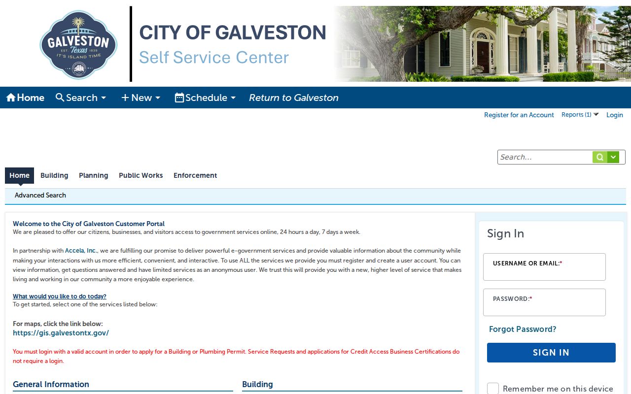
If a record is unavailable through ePortal, the City Secretary is the city-records custodian and directs requests through the online Public Records Center. Keep the address, project type, date range, and requested record category specific.
Source view: the Building Division’s permit guidance identifies the service, forms, and inspection context.
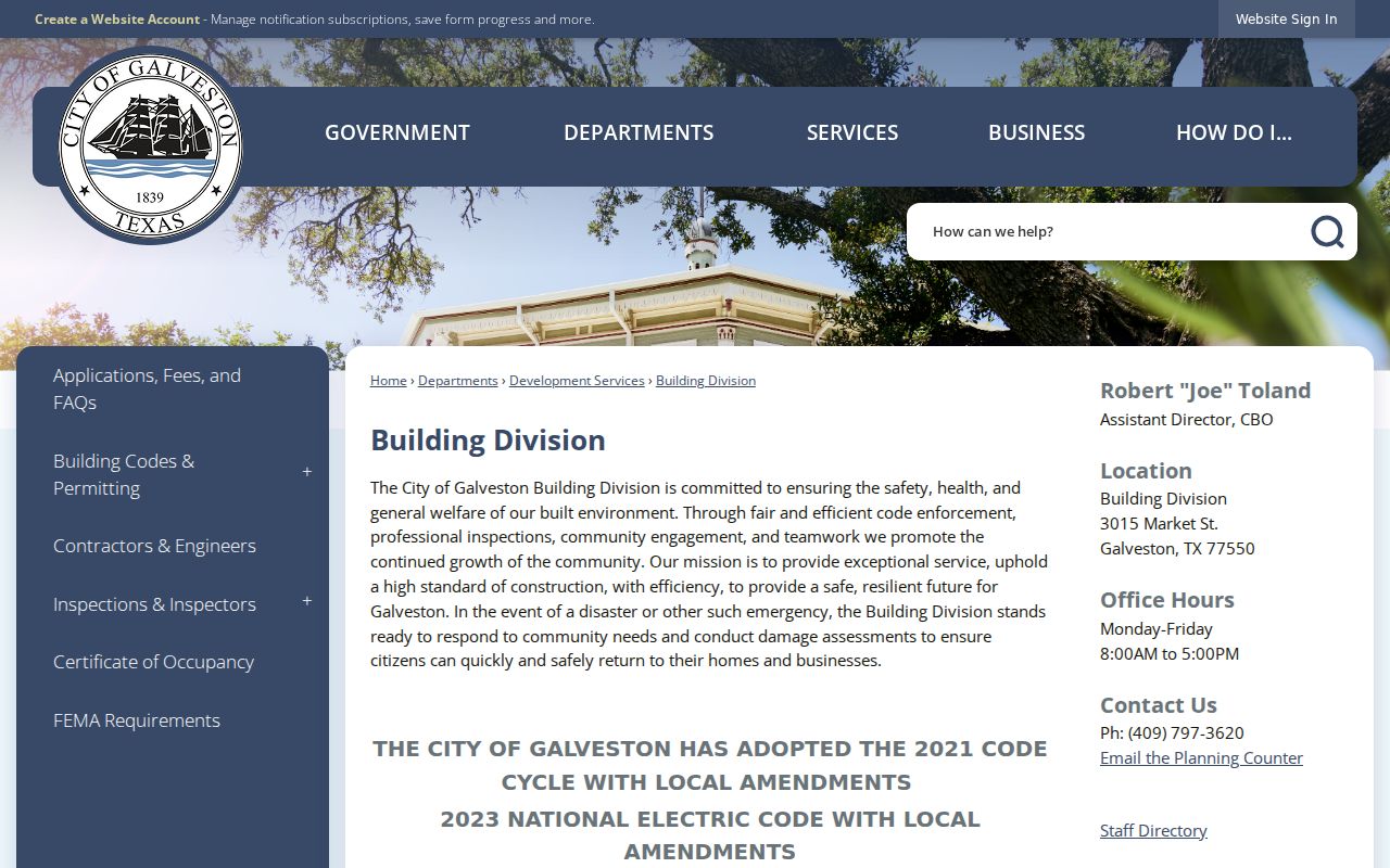
A permit result can add a date to a property history, but the County Clerk instrument and directory volume remain separate evidence about ownership and past address statements.
Galveston Street Directory Deed Chain
The Galveston County AVA real-property search is the online route identified by the County Clerk for real-property records. Start with the GCAD owner and legal description. Search the owner as grantee around the purchase period, identify the instrument number, recording date, document type, book or volume and page, parties, and legal description. Then find the seller as an earlier grantee for the same lot, block, subdivision, abstract, or outlot.
AVA’s client shell did not expose a complete live field inventory in the research session. Do not assume a filter or image cutoff that the portal does not show. The county-linked historical index route describes land records from 1840 to current date, while the Texas State Library documents early Galveston books from 1838. The County has not published one separate online-image cutoff.
For an older address, the recorded plat is often the bridge. A modern account may use a street address while an older instrument uses only an outlot, block, and lot. The GTHC House and Property Research Guide points to Insurance Board records, tax material, directories, maps, and neighborhood collections after that legal description is known.
Galveston Street Records Are Different Facts
An assessed owner, mailing addressee, permit applicant, deed party, and historic directory resident are not interchangeable identities. GCAD itself separates mailing address from property address. A deed identifies parties to a recorded instrument. A city directory reports what its compiler printed for a particular edition. A Sanborn sheet describes a building footprint, material, and use. The useful Galveston street result says which source produced each fact and when.
For a no-result address, preserve the failed search form. Try the street alone, an avenue alias, subdivision or abstract, map location, and lot or outlot. For archival material, GTHC staff can direct a request toward the Insurance Board and manuscript collections. This local fallback is more reliable than turning a parcel record into a claim about every person who might have been connected to a street.
Note: A missing online result can reflect a historic spelling, index gap, or digitization status rather than the absence of a county record.
Limits of a Galveston Street Directory
Public address records have firm limits. Texas voter material has protected identifiers and confidentiality rules, while the state’s portal confirms a registration match rather than offering a public street roll. Driver-license address data is generally restricted under the federal Driver’s Privacy Protection Act. Utility customer information is not a public resident list. City GIS also warns that its boundary lines are approximate and not legal.
When a governmental record is needed but no regular portal route exists, make a focused request under the Texas Public Information Act, Texas Government Code chapter 552. Identify the office, address, record type, date range, and preferred format. The state says governmental bodies must act promptly and give a release date if more than ten business days are needed.